
-

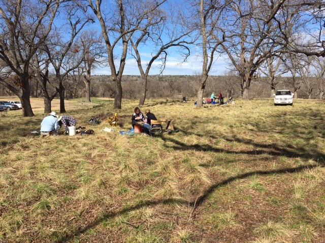
- LUAS excavating two test units close to the San Saba River in January 2017. Click image to enlarge.
-

- Two potsherds (left) and two end scrapers. The scrapers, as are about half the lithic artifacts, are made from Paleozoic chert. Click image to enlarge.

-

- This Cuney arrow point is evidence of historic occupation at the Baker site. Click image to enlarge.

-

- Bison bone scatter on top of cooking pit where a charred maize kernel was recovered

-

- Engraved potsherd from large Late Caddo bottle

-

- Aqueduct built in 1870s

-
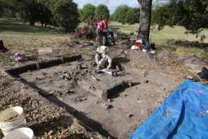
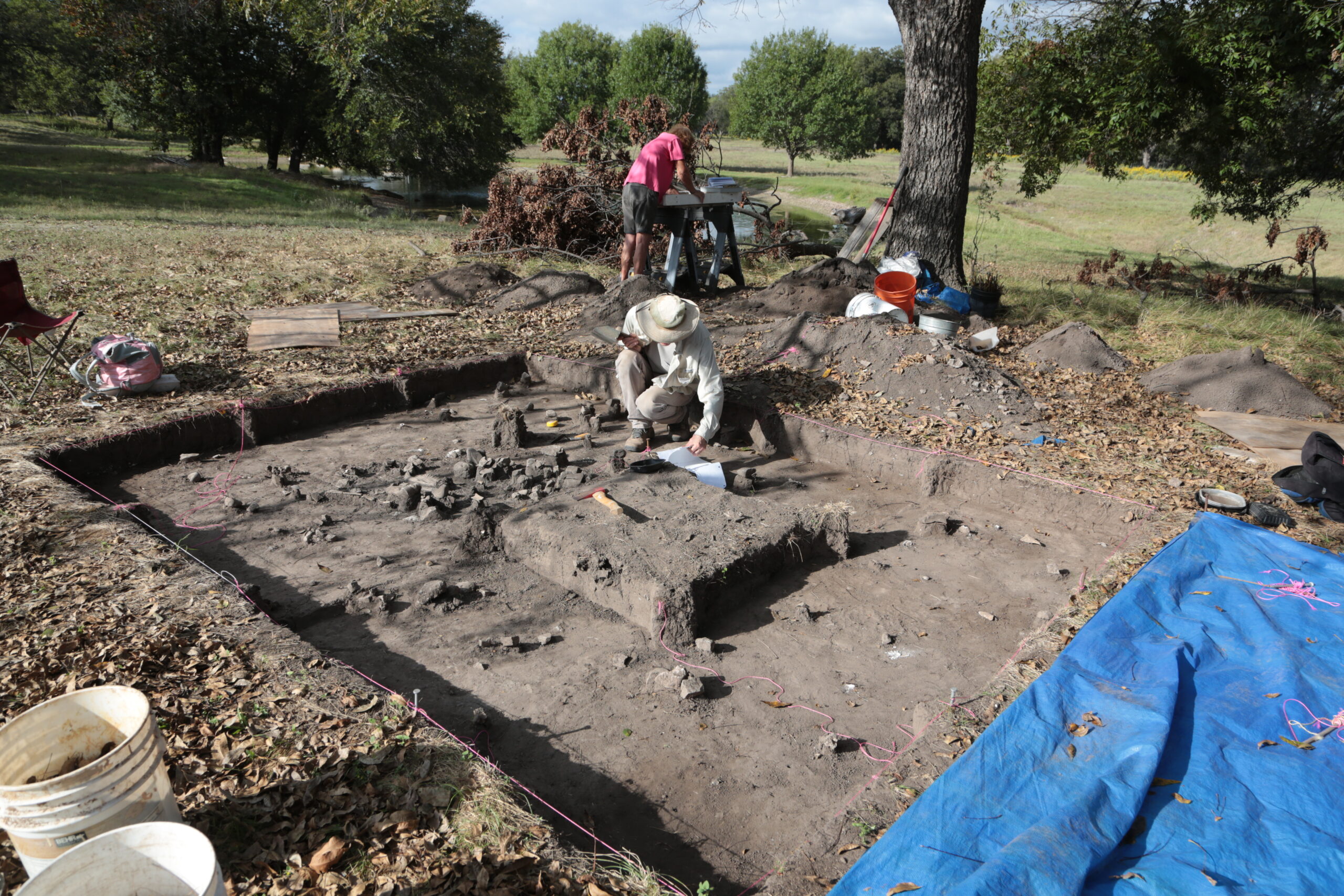
- Excavating the Feature 1 cooking pit in Block 1.
-
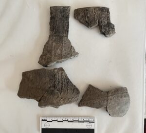
- Sherds from a bone-tempered jar decorated with columns of fingernail punctations.

-
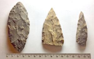
- Bifaces used as knives resharpened by edge beveling.
